PLATFORM
Historical maps of Europe, 1934–1945
The historical maps show changes in political borders, territorial expansion, occupations and the development of systems of persecution in Europe during the 1930s and 1940s. They provide a spatial perspective on the connections between Nazi, Fascist and other far-right regimes, and on the historical processes that led to mass violations of human rights, the Holocaust and other crimes during the Second World War.
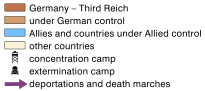
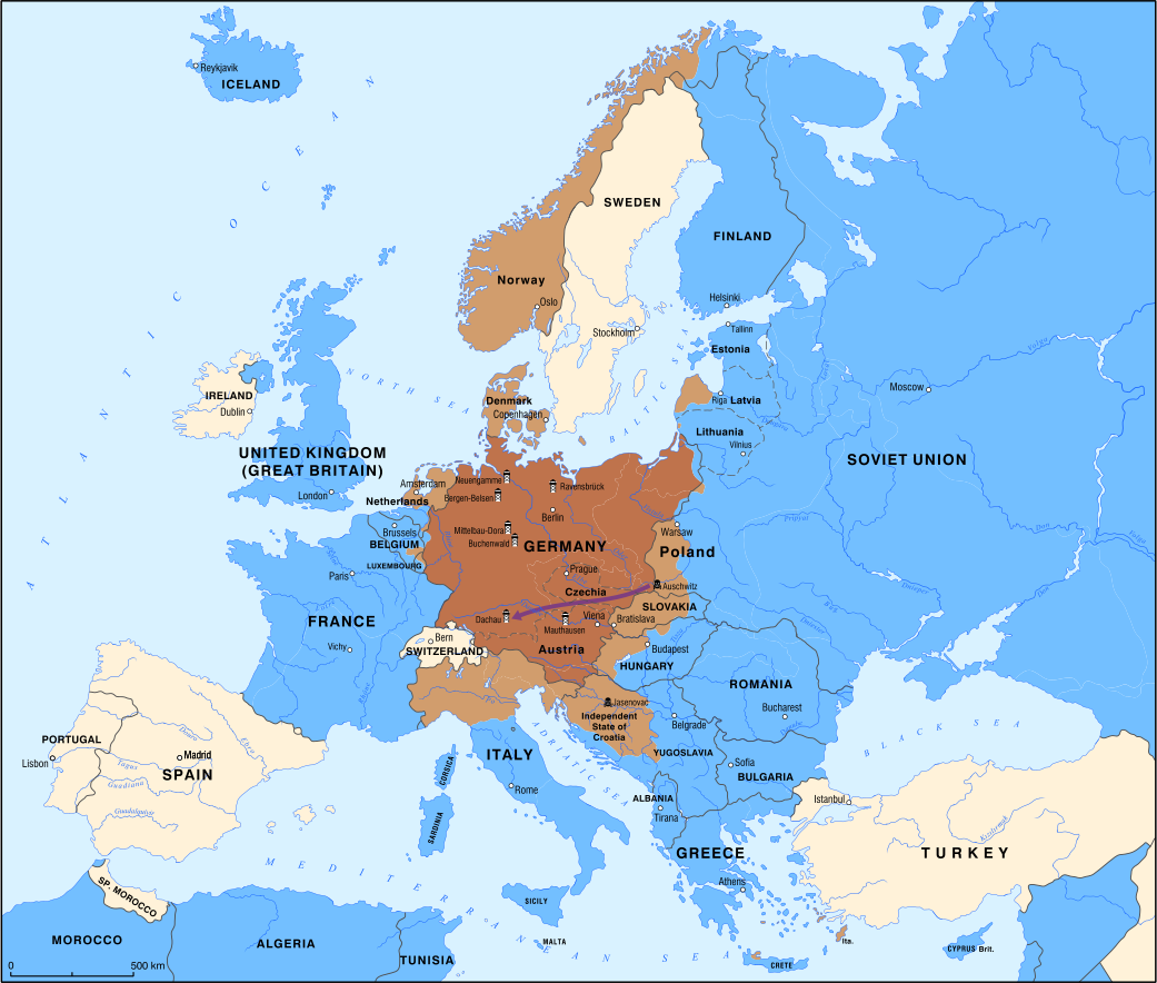
By January 1945, the Third Reich was retreating before the advance of Allied and Soviet forces. Despite its impending military defeat, the Nazi regime continued to pursue its policies of persecution and extermination. Thousands of prisoners were forcibly evacuated from concentration camps into the interior of the Reich in so-called death marches, during which many died from exhaustion, starvation, disease, or were killed. The map shows one of these routes—the death march from Auschwitz toward Dachau.
Legend